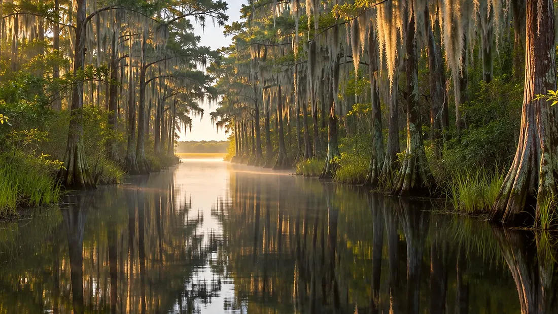
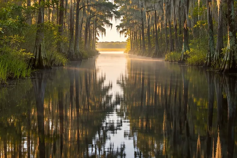
Hey guys, we got an adventure for y'all today. This is the Orange Trail, and it follows the historic Suwannee Canal. The refuge rates it easy to moderate as far as Canal Run, and difficult beyond. From this ramp it's six miles to the Coffee Bay shelter and ten miles to Canal Run. The trail can also start at Okefenokee State Park, at the far end. Past Canal Run it turns narrow and winding. In low water that stretch can be stumps, peat blowups, and brush. Water levels change, so check conditions with the refuge before you commit. Cell service is inconsistent out here, so carry a map and a compass.
Paddling ยท Orange Trail
Orange Trail: the boat ramp at Suwannee Canal Recreation Area
Boat ramp, Suwannee Canal Recreation Area · 0:38
What Rodney says
Where it is
Boat ramp
On the map at Boat ramp, Suwannee Canal Recreation Area. Turn on Follow me and it plays when you get there.
1 of 8 · Orange Trail
Open the map →
Also at this place
Orange Trail
- Orange Trail: the boat ramp at Suwannee Canal Recreation Area
- Orange Trail: down the Suwannee Canal toward Coffee Bay
- Orange Trail: Coffee Bay shelter
- Orange Trail: Coffee Bay toward Canal Run
- Orange Trail: Canal Run
- Orange Trail: Canal Run toward Billys Island
- Orange Trail: Billys Island
- Orange Trail: Billys Lake and Okefenokee State Park