
ChuckwillOkefenokee Stories Open the map
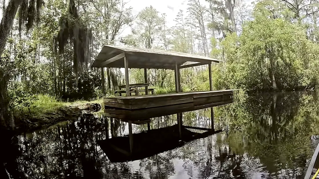
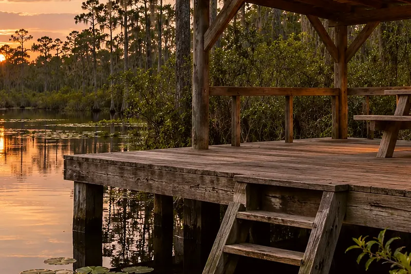
The Coffee Bay day-use shelter from the water
Paddling ยท Orange Trail

Orange Trail: Coffee Bay shelter

Orange Trail: Coffee Bay shelter · 0:40

Tommy the guideYour hostTommy the guide

Coffee Bay shelter. A still from our film.
0:00 / 0:40
Orange Trail: Coffee Bay shelterOpen the map
What Rodney says

This is Coffee Bay. It's a land-based shelter, six miles from the recreation area. The refuge calls it a day-use shelter and a good spot to stretch your legs and have lunch. It opens to camping in low-water times, so ask the refuge what it allows. We made it here a little past noon on our first overnight in the swamp. The yellow flies came on thick that evening, and smoke was the only thing that beat them. Big gators put their whole bodies up out of the water and did not care that we were there. Keep your scraps out of the water, and give a gator room. Canal Run is four more miles down the canal.
Orange Trail
Where it is

Orange Trail: Coffee Bay shelter

On the map at Orange Trail: Coffee Bay shelter. Turn on Follow me and it plays when you get there.

3 of 8 · Orange Trail
Open the map →
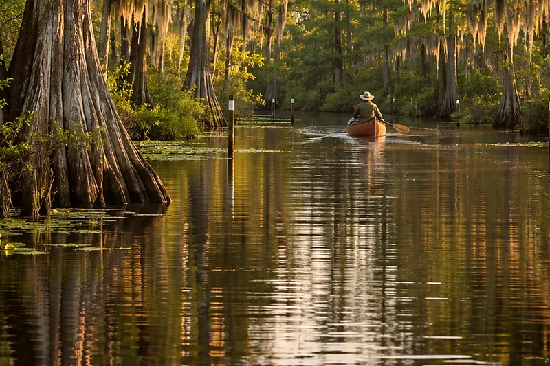
A canoe far down a narrow water trail between cypressCreated imageNext listenOrange Trail: Coffee Bay toward Canal RunOrange Trail: Coffee Bay toward Canal Run · 0:37Listen →
Also at this place
Orange Trail
  1. Orange Trail: the boat ramp at Suwannee Canal Recreation Area
  2. Orange Trail: down the Suwannee Canal toward Coffee Bay
  3. Orange Trail: Coffee Bay shelter
  4. Orange Trail: Coffee Bay toward Canal Run
  5. Orange Trail: Canal Run
  6. Orange Trail: Canal Run toward Billys Island
  7. Orange Trail: Billys Island
  8. Orange Trail: Billys Lake and Okefenokee State Park

All of Paddling Trails →