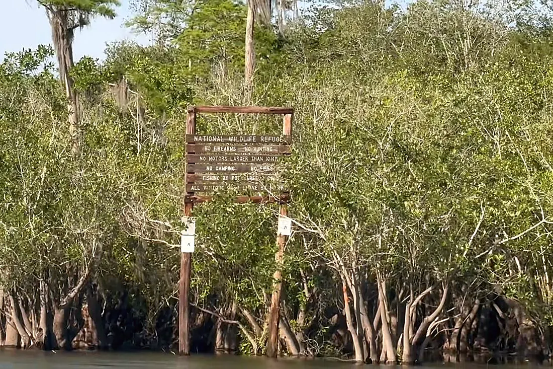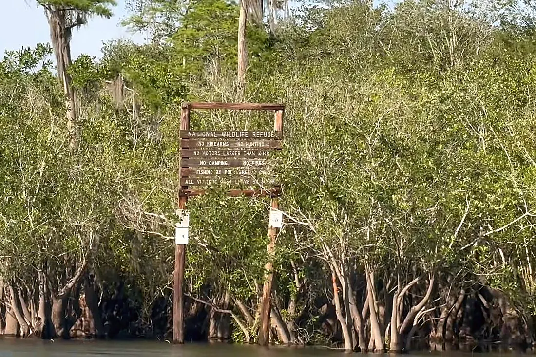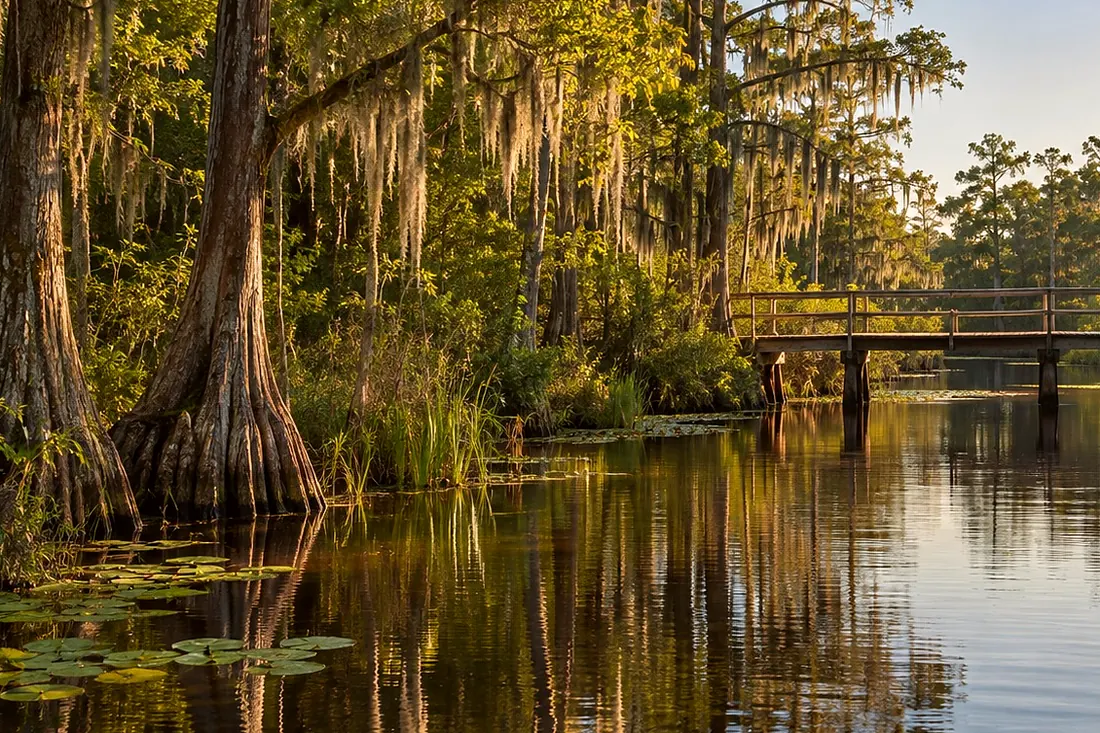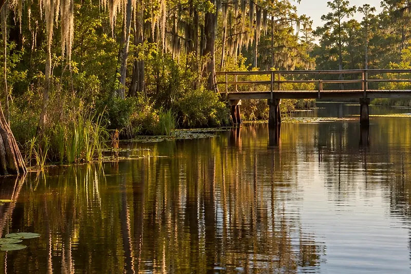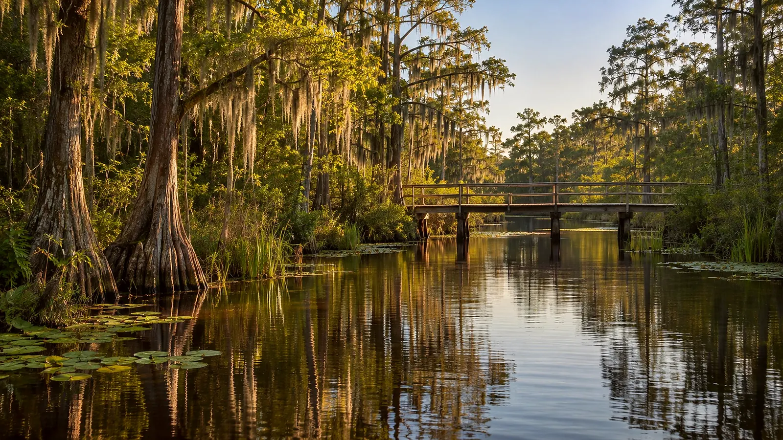
You're at the Suwannee River Sill, off Highway one seventy-seven. It's a secondary entrance, with a boat ramp and bank fishing.
This place started with fire. In nineteen fifty-four and nineteen fifty-five, drought and fire burned eighty percent of the swamp. Congress passed a bill in March of nineteen fifty-six to build a sill on the Suwannee. The idea was to hold water in the swamp longer after dry spells, and cut the fire risk. The Sill was an earthen dam about eight kilometers long, roughly five miles. It was finished in nineteen sixty.
It never served its purpose. The nomination to UNESCO itself calls building it misguided. Here's why. The swamp already had sills of its own. Natural sills inside the swamp hold the water in steps, like terraces. And fire was never the enemy. Before modern times, low-intensity fires crossed this land about every one to three years. The refuge says wildfire is a natural, frequent and desirable part of the ecosystem. The Okefenokee has some of the highest lightning counts in North America.
A refuge biologist's nineteen forty-one study named the biggest factor controlling life in the swamp: the rise and fall of the water. Fluctuating water levels are critical to keep the swamp alive. So in twenty ten, the refuge breached the Sill in three places. They wanted sheet flow back on the Suwannee. Today the Suwannee, from the swamp to the Gulf, is unimpeded. It runs about two hundred thirty-five miles to the Gulf, and only a short stretch of that is here in Georgia.