
ChuckwillOkefenokee Stories Open the map
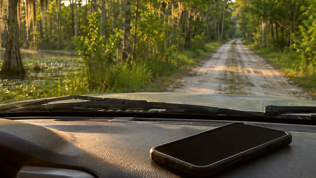
A phone on a truck dashboard on a sand road into the swamp
Driving tour ยท On the road

End of the drive

Okefenokee Swamp Park Road, heading out · 0:20

Tommy the guideYour hostTommy the guide

Created image of a phone on the dash, on the road in.
0:00 / 0:20
End of the driveOpen the map
What Rodney says

That's the drive. You went around a swamp that covers about four hundred six thousand six hundred acres. The refuge protects ninety-four percent of it. Two rivers carry its water out, the Suwannee to the Gulf and the Saint Marys to the Atlantic.

And remember Swampers, that where the map ends the wild begins. Stay rugged.
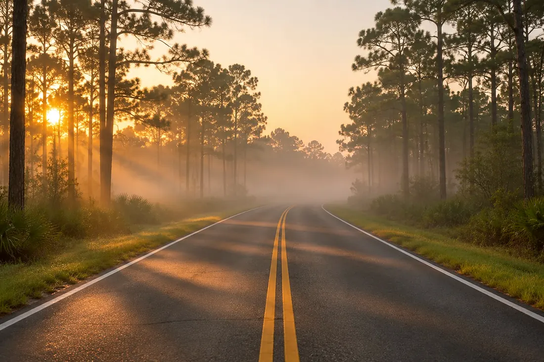
Okefenokee Swamp Park Road
Where it is

Okefenokee Swamp Park Road

On the map at Okefenokee Swamp Park Road, heading out. Turn on Follow me and it plays when you get there.

15 of 15 · Driving Tour
Open the map →
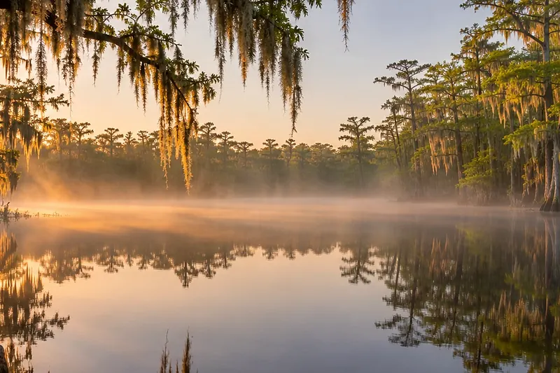
A two-lane road into morning fog between pinesCreated imageThat is the last oneBack to Driving Tour15 stops · 13 minAll of them →
Also at this place
All 15 stops in Driving Tour
  1. Before you leave the depot
  2. Folkston depot and the Folkston Funnel platform
  3. Folkston to Traders Hill
  4. Traders Hill, the old river port on the Saint Marys
  5. Traders Hill to the east entrance
  6. East entrance, Suwannee Canal Recreation Area
  7. Chesser Island: Wildlife Drive, the homestead, the boardwalk
  8. The drive west: Homeland
  9. The drive west: Saint George
  10. Toward Fargo and the west entrance
  11. West entrance, Okefenokee State Park
  12. The Suwannee River Sill
  13. Around to Waycross
  14. North entrance, Okefenokee Swamp Park near Waycross
  15. End of the drive

All of Driving Tour →