
ChuckwillOkefenokee Stories Open the map
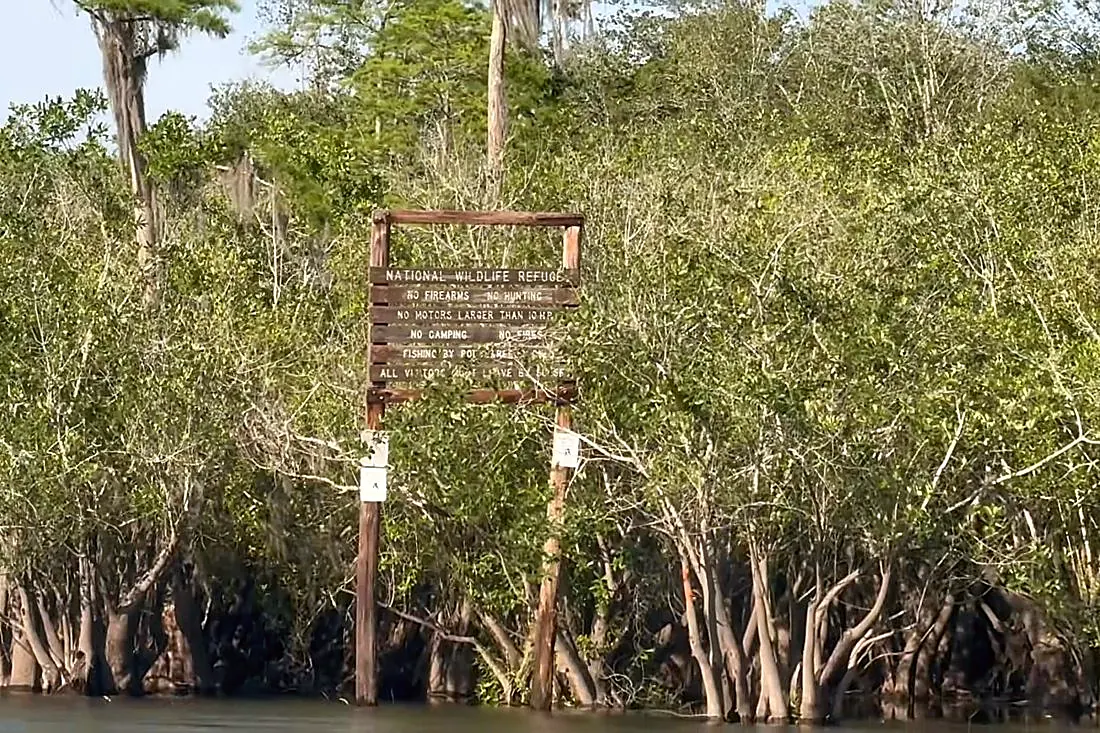
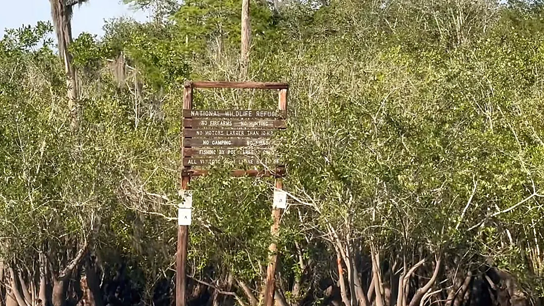
Refuge sign on the water near the Suwannee River Sill
Paddling ยท Brown Trail

Brown Trail: the Suwannee River Sill

Suwannee River Sill · 0:34

Tommy the guideYour hostTommy the guide

Suwannee River Sill, the refuge sign. A still from our film The Suwannee.
0:00 / 0:34
Brown Trail: the Suwannee River SillOpen the map
What Rodney says

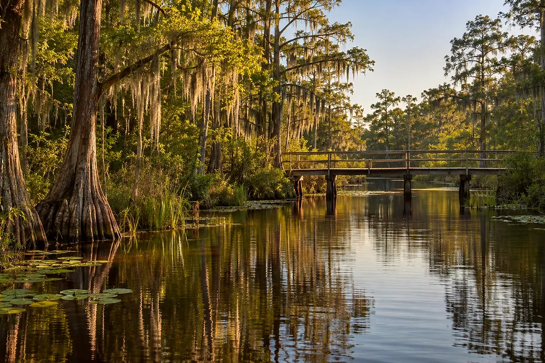
This is the Suwannee River Sill. It's the earthen dam at the head of the Suwannee, and it is not an official refuge entrance. Congress passed a bill to build it in nineteen fifty-six, after the big fires. It was completed in nineteen sixty. The refuge's own nomination says it never served its purpose. The refuge breached it in three places in twenty ten. The refuge says you no longer need a permit to cross it. The trail goes three more miles along the Sill. Check conditions with the refuge before you go. Stay rugged.
Suwannee River Sill
Where it is

Suwannee River Sill

On the map at Suwannee River Sill. Turn on Follow me and it plays when you get there.

5 of 5 · Brown Trail
Open the map →
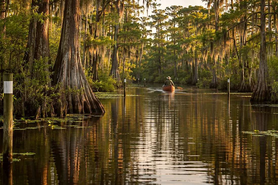
A canoe far down a narrow water trail between cypressCreated imageThat is the last oneBack to Paddling Trails42 listens · 24 minAll of them →
Also at this place
Brown Trail
  1. Brown Trail: Okefenokee State Park
  2. Brown Trail: across Billys Lake to Mixons Hammock
  3. Brown Trail: Mixons Hammock
  4. Brown Trail: through the River Narrows
  5. Brown Trail: the Suwannee River Sill

All of Paddling Trails →