
ChuckwillOkefenokee Stories Open the map
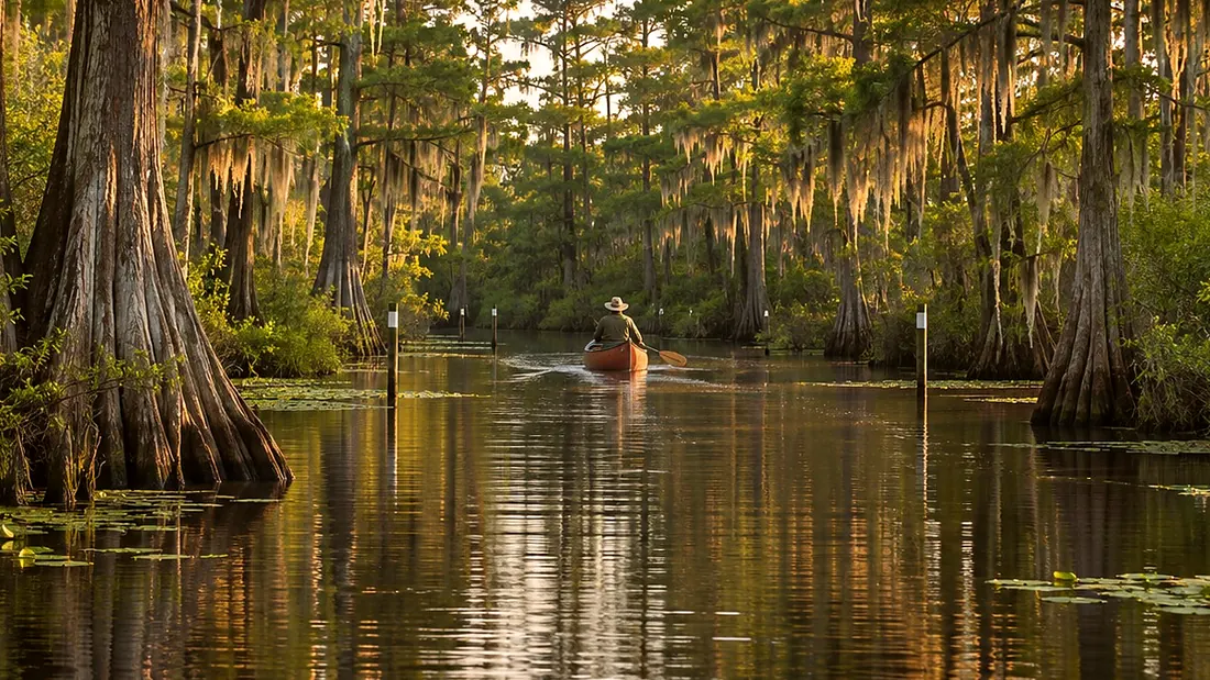
A canoe far down a narrow water trail between cypress
Paddling ยท Red Trail

Red Trail: Kingfisher Landing

Kingfisher Landing boat ramp · 0:31

Tommy the guideYour hostTommy the guide

Created image of a paddling trail through the cypress.
0:00 / 0:31
Red Trail: Kingfisher LandingOpen the map
What Rodney says

Hey guys, we got an adventure for y'all today. You're at Kingfisher Landing. This is the start of the Red Trail, and it's rated difficult. It's twelve miles from here to Maul Hammock. That's a long day, through scrub-shrub, marsh, and small lakes. There are no rentals, water, food, or staff at this landing, so bring everything. Overnight paddlers need a wilderness permit and sign in and out. Water levels change, so check conditions with the refuge before you go. Never count on a trail being open.
Kingfisher Landing boat ramp
Where it is

Kingfisher Landing boat ramp

On the map at Kingfisher Landing boat ramp. Turn on Follow me and it plays when you get there.

1 of 8 · Red Trail
Open the map →
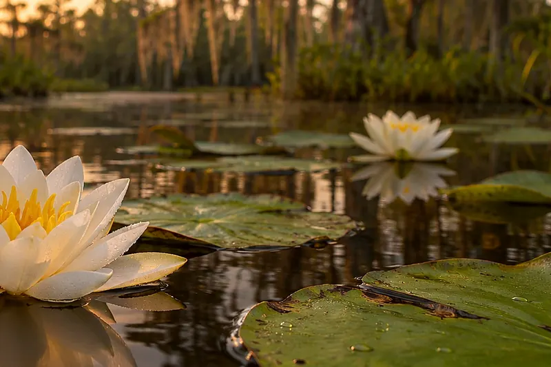
White water lilies on dark water at sunriseCreated imageNext listenRed Trail: Kingfisher Landing toward Maul HammockRed Trail: Kingfisher Landing toward Maul Hammock · 0:31Listen →
Also at this place
Red Trail
  1. Red Trail: Kingfisher Landing
  2. Red Trail: Kingfisher Landing toward Maul Hammock
  3. Red Trail: Maul Hammock
  4. Red Trail: Maul Hammock to Big Water
  5. Red Trail: Big Water
  6. Red Trail: Big Water through the cypress toward Minnies Lake
  7. Red Trail: Minnies Lake
  8. Red Trail: Minnies Run, Billys Lake and Okefenokee State Park

All of Paddling Trails →