ChuckwillOkefenokee Stories Open the map
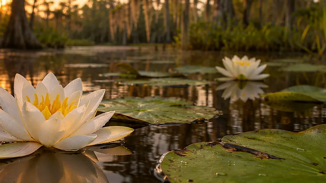
White water lilies on dark water at sunrise
Paddling ยท Blue Trail

Blue Trail: where it leaves the Orange Trail

Blue Trail: where it leaves the Orange Trail · 0:32

Tommy the guideYour hostTommy the guide

Created image of water lilies on blackwater.
0:00 / 0:32
Blue Trail: where it leaves the Orange TrailOpen the map
What Rodney says

Hey guys, we got an adventure for y'all today. This is the Blue Trail. It's a connector, and the refuge rates it moderate. It runs from the Orange Trail to the Green Trail, about two and six-tenths miles. People use it mainly to get to Floyds Island or Bluff Lake. There is no overnight site on the Blue Trail. The deeper holes you come across are good fishing. Water levels change, so check conditions with the refuge before you go. Never stray off the marked trail.
Blue Trail
Where it is

Blue Trail: where it leaves the Orange Trail

On the map at Blue Trail: where it leaves the Orange Trail. Turn on Follow me and it plays when you get there.

1 of 3 · Blue Trail
Open the map →
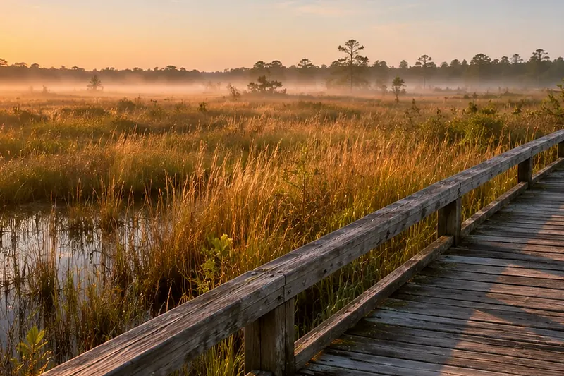
A boardwalk running out across an open wet prairie at sunriseCreated imageNext listenBlue Trail: along the edge of Chase PrairieBlue Trail: along the edge of Chase Prairie · 0:29Listen →
Blue Trail
  1. Blue Trail: where it leaves the Orange Trail
  2. Blue Trail: along the edge of Chase Prairie
  3. Blue Trail: where it meets the Green Trail

All of Paddling Trails →